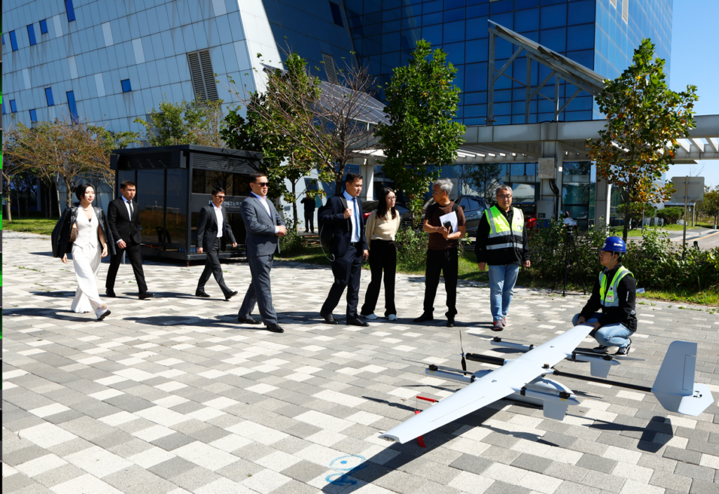
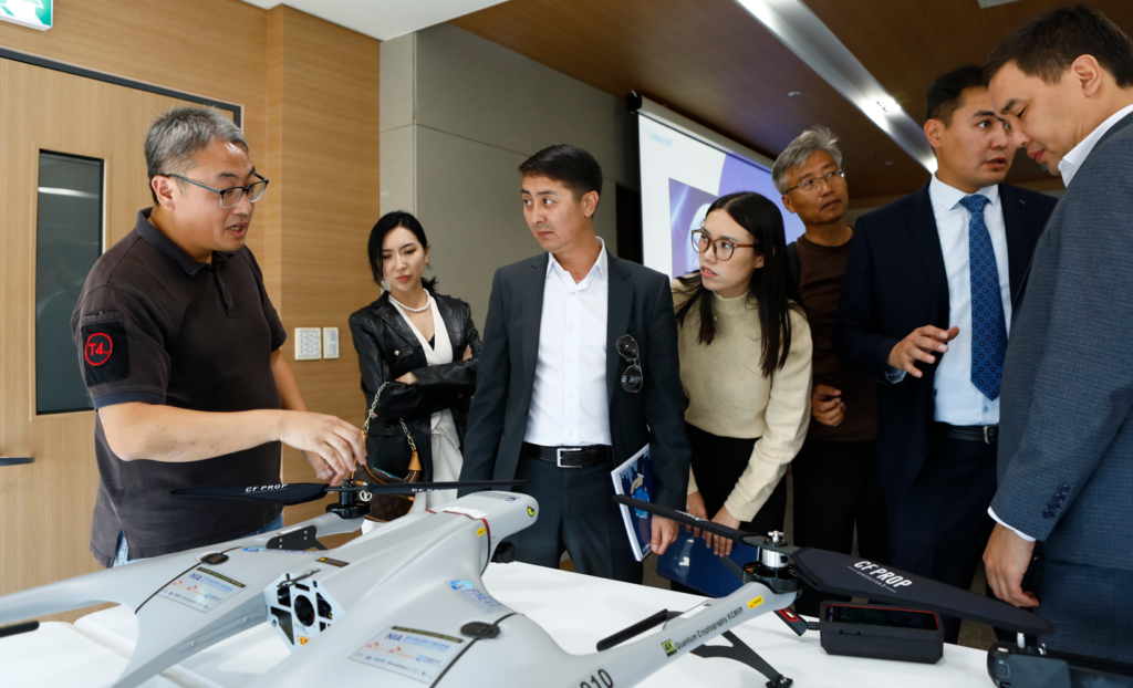
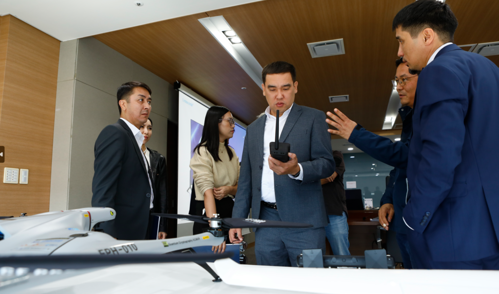
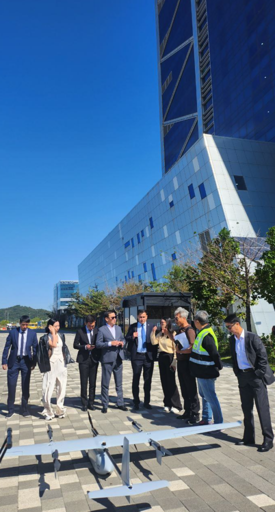
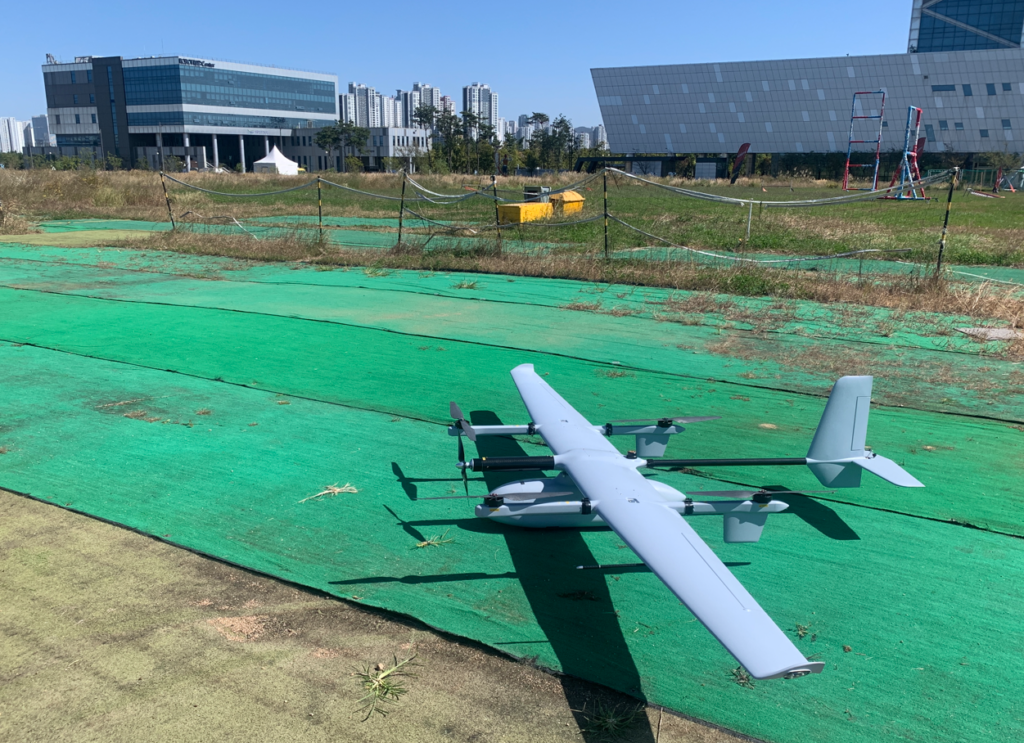
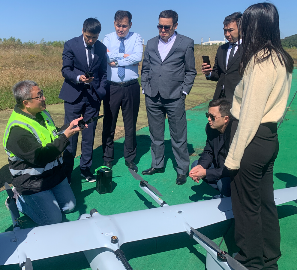
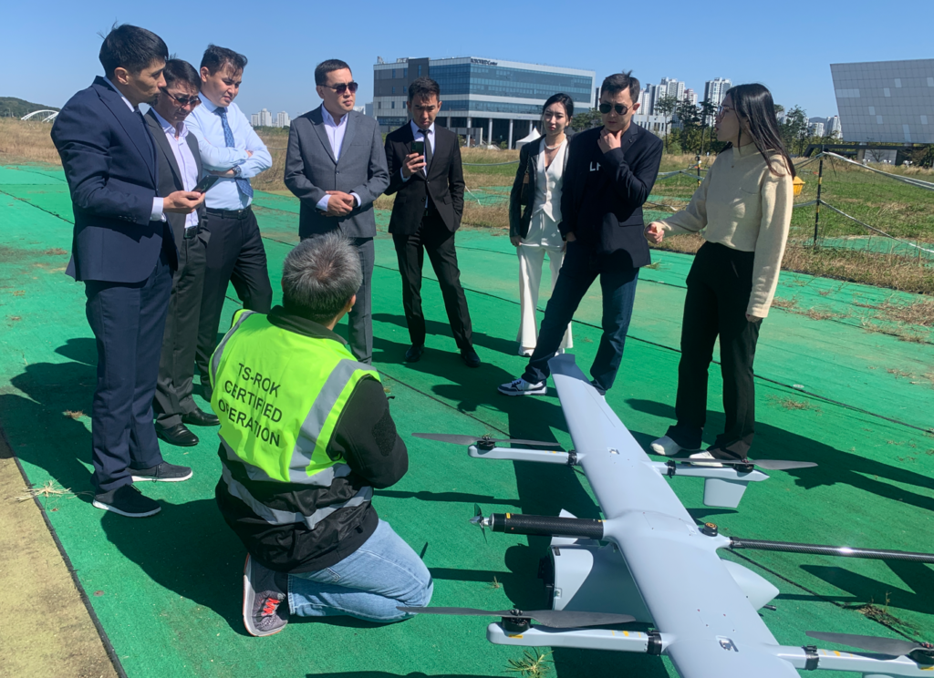
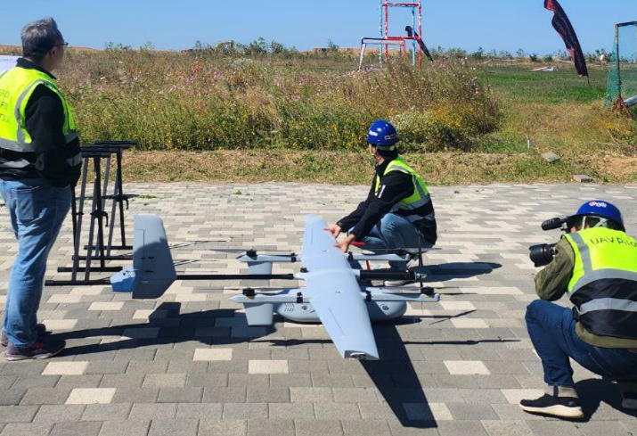
Demonstration of eVTOL for Forest Fire Surveillance for Civil and Military Officials in Kazakhstan 2025년 1월 21일2023년 10월 8일 로 dronelab
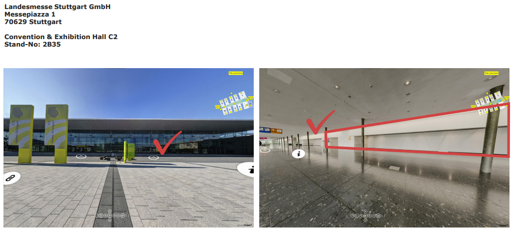
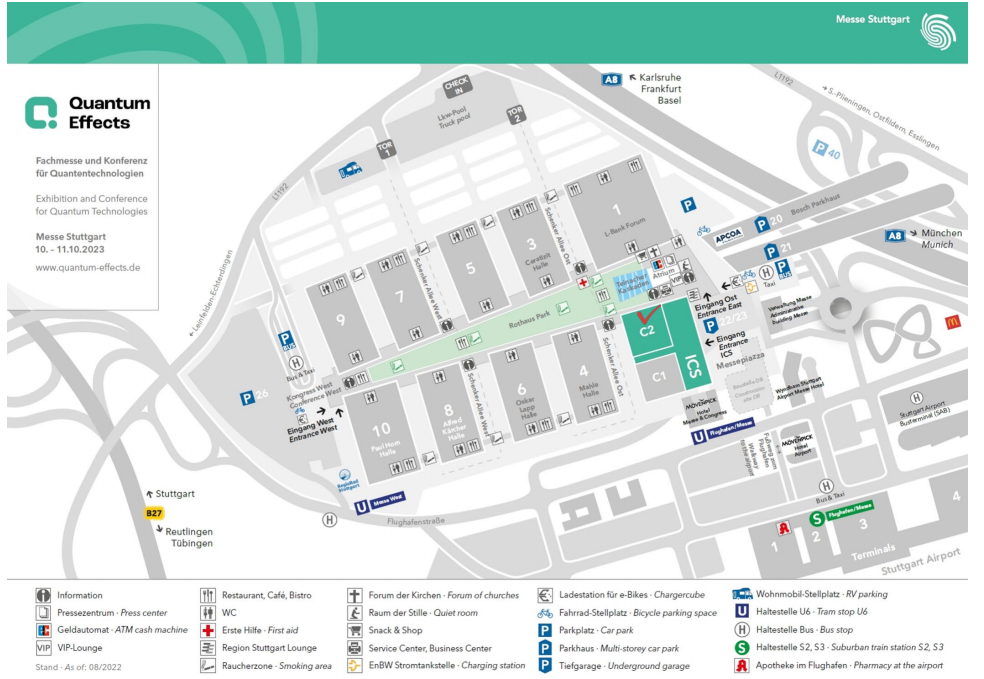
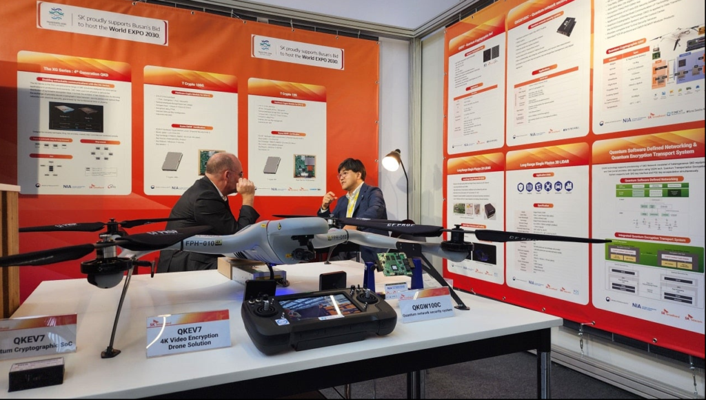
Exhibition and Conference for Quantum Technologies , 10 – 11 Oct 2023 2024년 4월 19일2023년 10월 8일 로 dronelab Convention & Exhibition Hall C2, Stand-No: 2B35
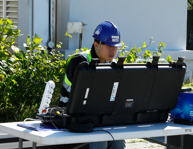
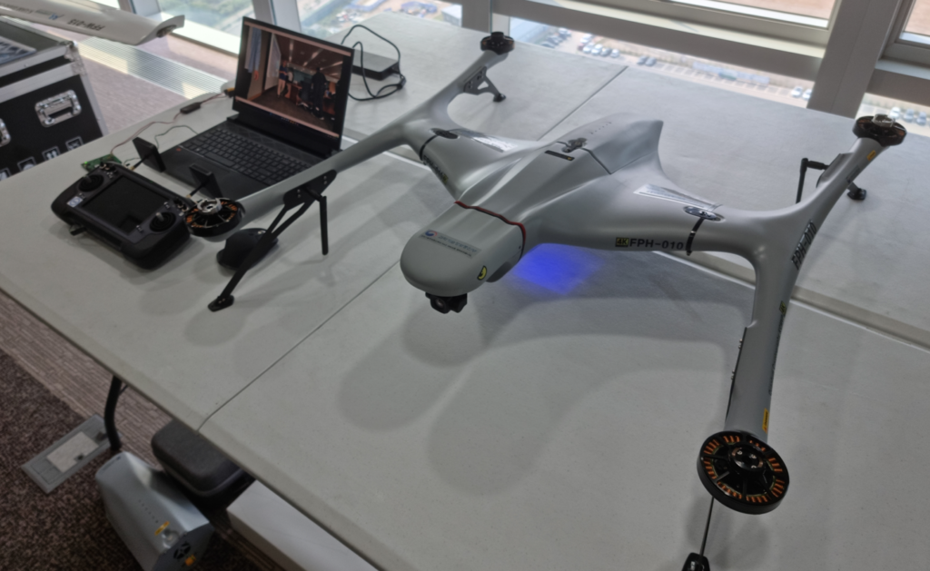
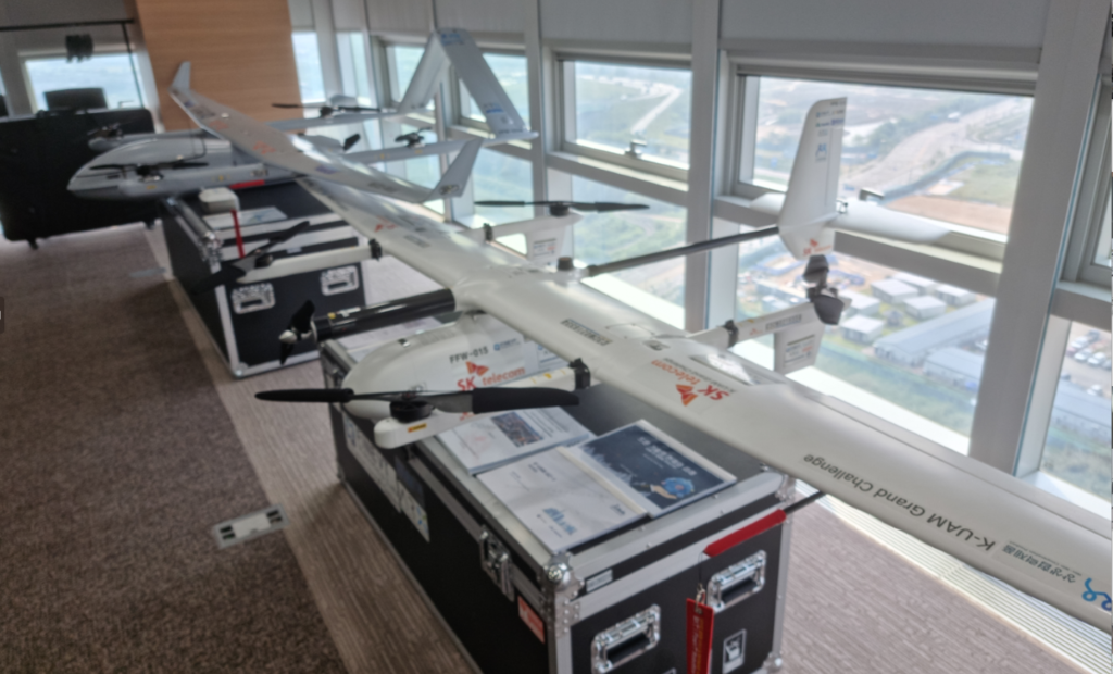
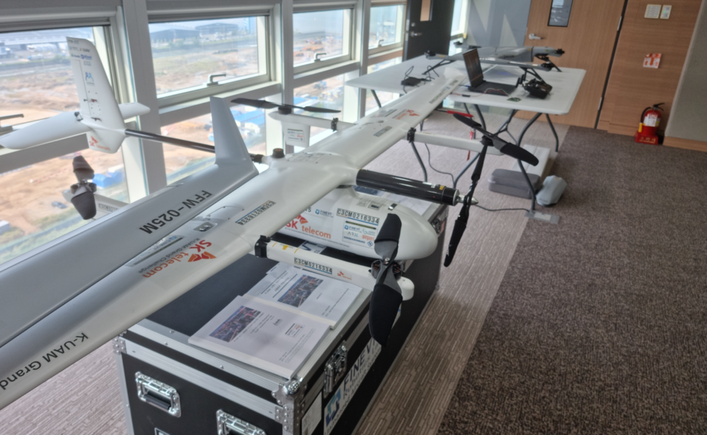
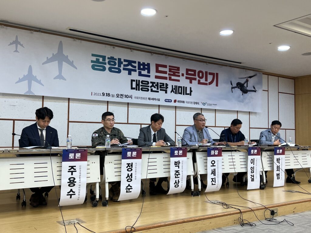
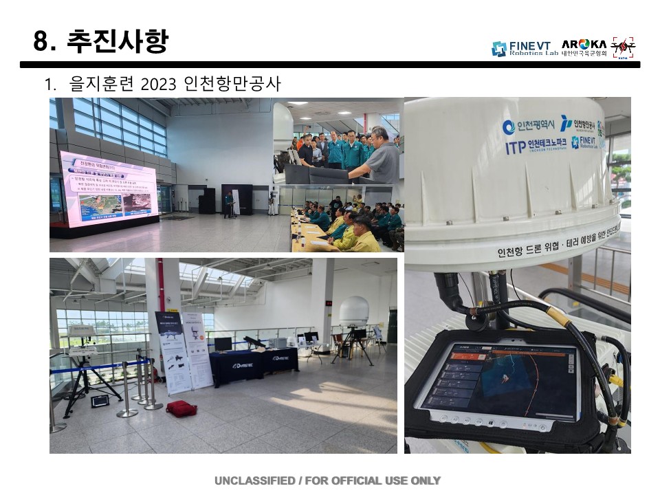
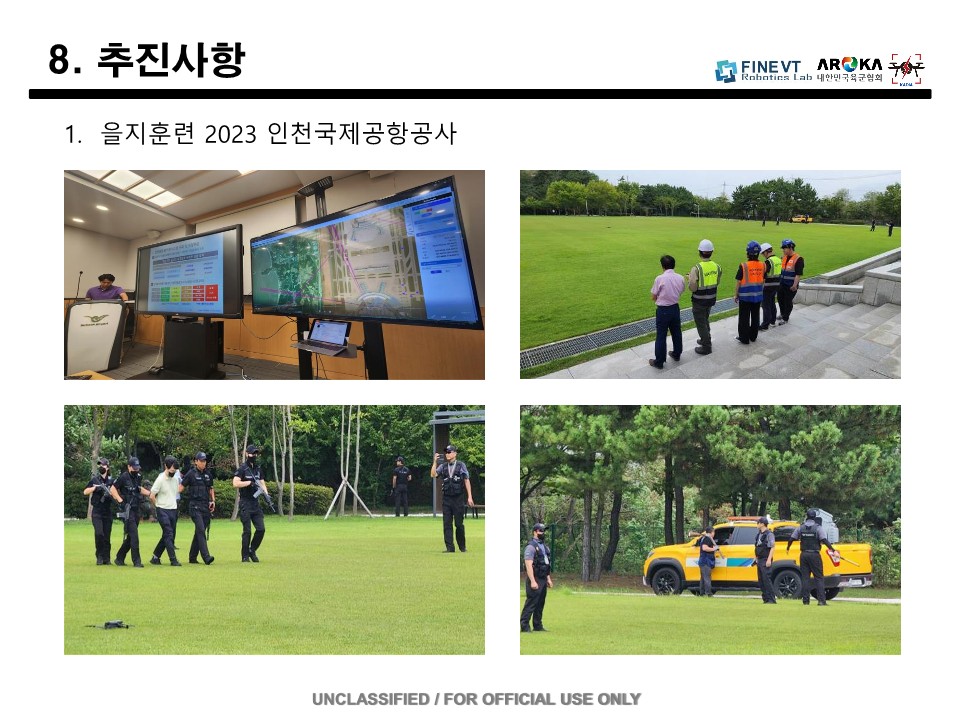
Drones around the National Assembly & Airport of the Republic of Korea – Unmanned Aerial Vehicle Response Strategy Seminar 2024년 4월 5일2023년 9월 20일 로 dronelab
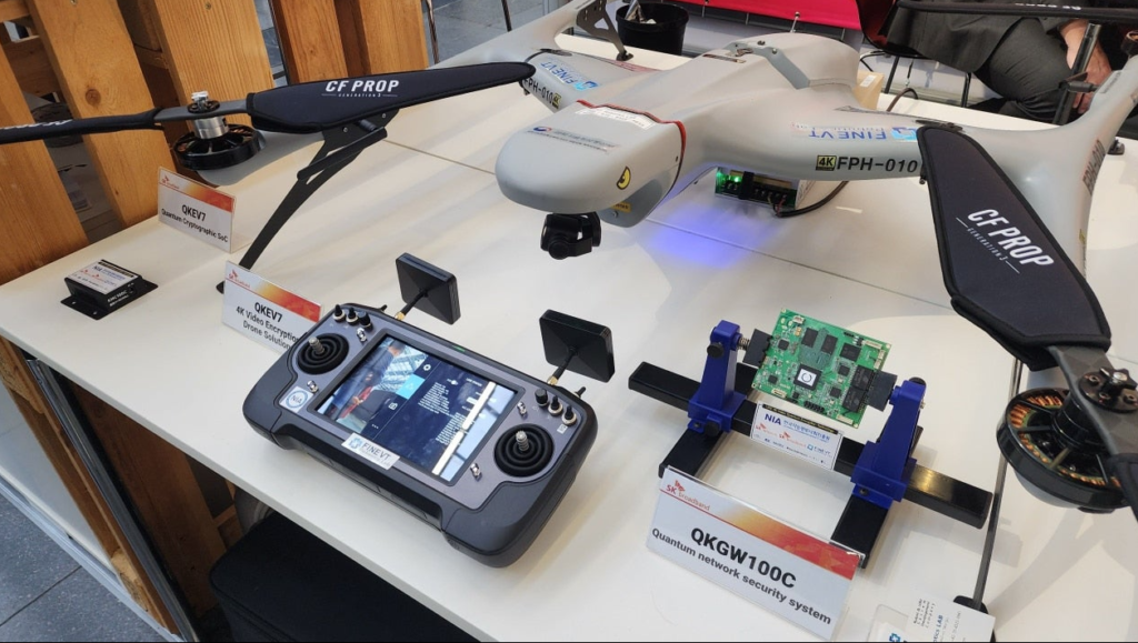
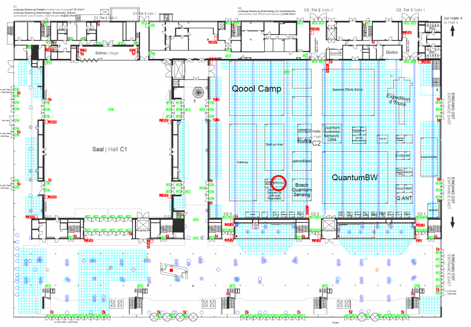 Convention & Exhibition Hall C2, Stand-No: 2B35